Saturday, October 13, 2012

October Holiday Pictures

Just some pictures I took while on vacation.

Snowfall on a spiders web


Sunday, September 09, 2012

Lillian and Galatea Lakes Hike

Lucy and I went on another hike.  This time is was a challenge - all up hill!  It was a very long day & we didn't get home until about 9 pm but it was worth it.

Distance: 
14.2 km
Difficulty: 
Moderate
Elev. gain: 
685 meters
Time required: 
4 - 6 hours

Directions to trail head

The trailhead is on Highway #40 approximately 30 kilometers south of the intersection of Highways #1 and Highway #40. You will drive past both the turn for the golf course and the Mt. Kidd campground. The trailhead is clearly marked with a sign indicating the Galatea Creek Trail.

Hazards on trail

This trail is subject to a spring closure annually to prevent trail erosion.

Hike Description

The trail has several bridges (at least eight) that cross Galatea Creek. Were it not for the bridges and the views of the creek the trail might seem monotonous as there are only a couple of viewpoints before you reach Lillian Lake. The trail has a fairly constant grade to Lillian Lake and then becomes noticeably steeper as it climbs above Lillian Lake to Galatea Lake. Lillian Lake and the campsites near it are scenic but if you have hiked 5.5 kilometers (one-way) to Lillian lake you should continue on to the Galatea lakes which adds only 3 kilometers and 250 meters elevation (total of 685 to Galatea Lake) to the trip. The trail above Lillian Lakes is very rocky and you have to watch your step but the views back towards the valley through which you will have traveled are amazing as are the Galatea Lakes

We went with a group from work and had a really good time.  The weather was beautiful, the company fun and views truly amazing.  Enjoy our photos.


Sunday, August 19, 2012

Karst Springs Hike

With a local dog walk meetup group, Lucy and I went on a nice hike yesterday to Karst Springs.  Here's a little information about the hike:

Distance: 
10.2 km
Difficulty: 
Easy
Elev. gain: 
60 meters
Time required: 
4 - 6 hours

Directions to trail head

The trail is accessed from the Smith-Dorrien / Spray Trail (Highway 742). From Canmore, drive 39 km south on the Smith-Dorrien / Spray Trail. At the sign for the Mount Shark Cross Country and Biathalon Range as well as the Mount Shark Helipad turn right, drive 5 kilometers to the Mount Shark parking lot where you will find the trailhead.

Hike Description

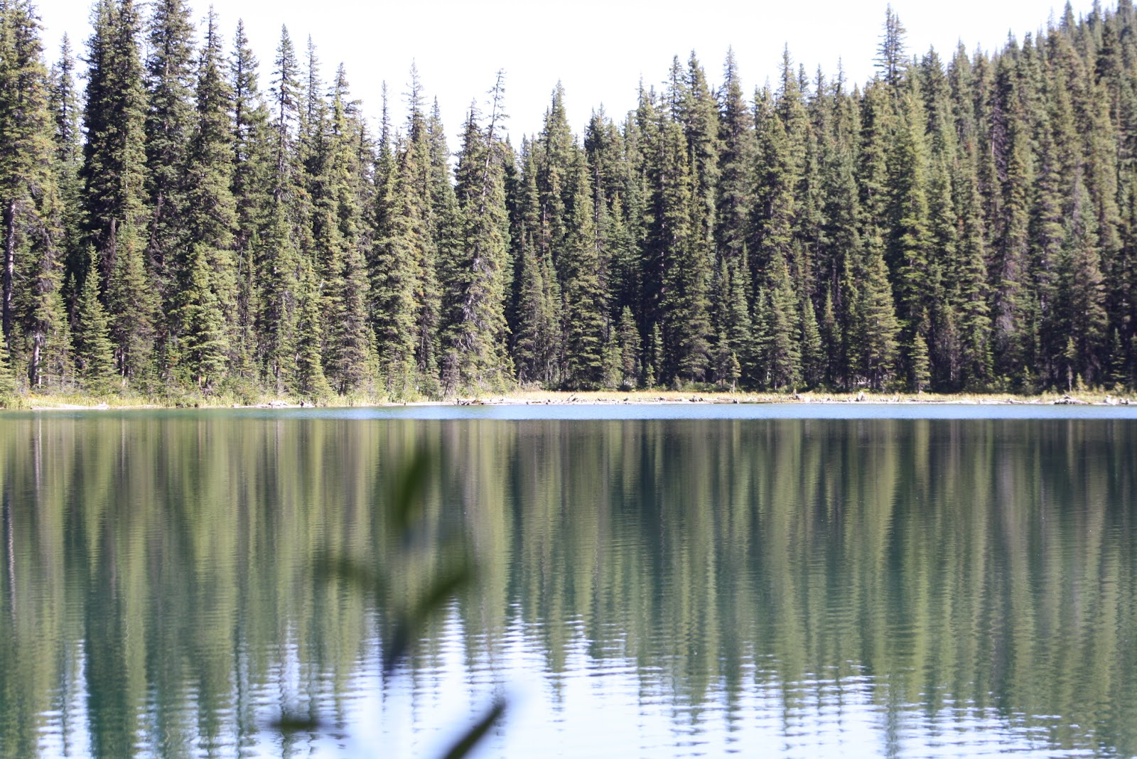
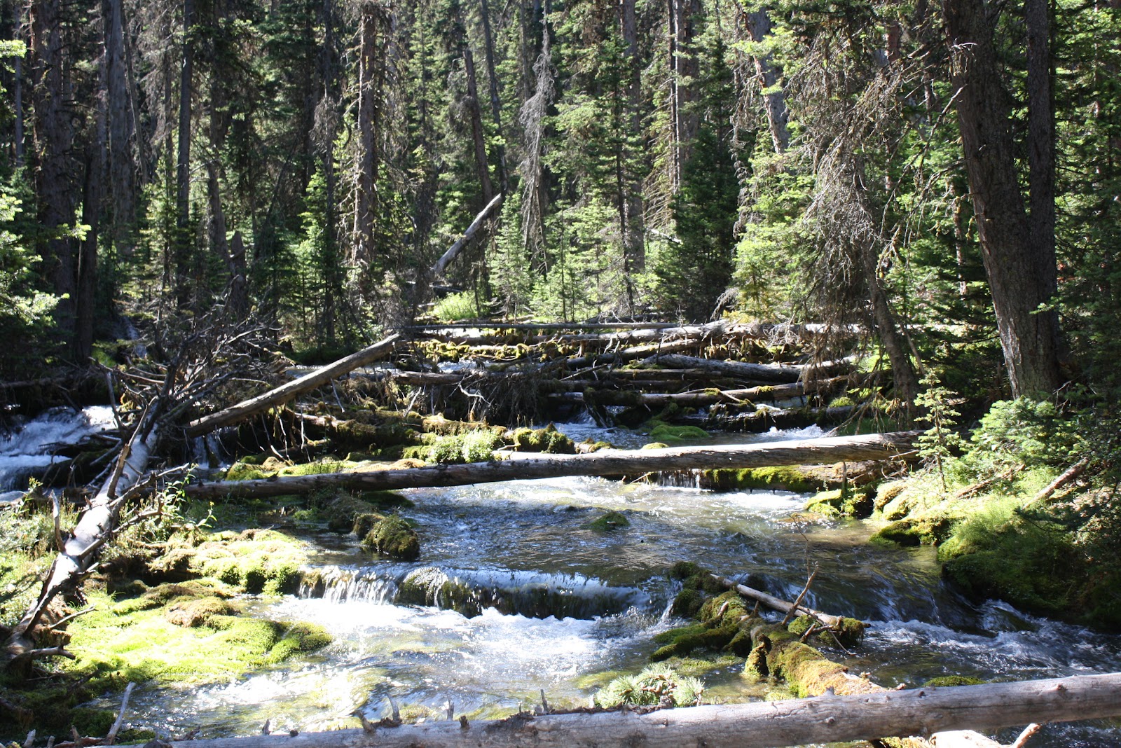
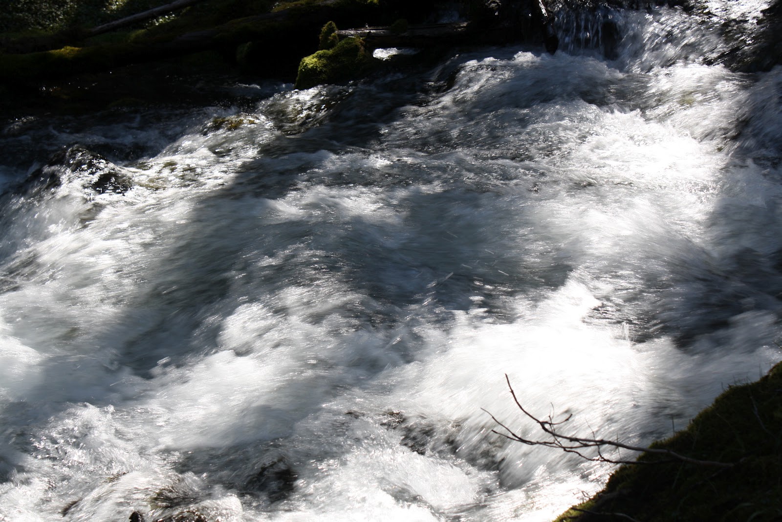
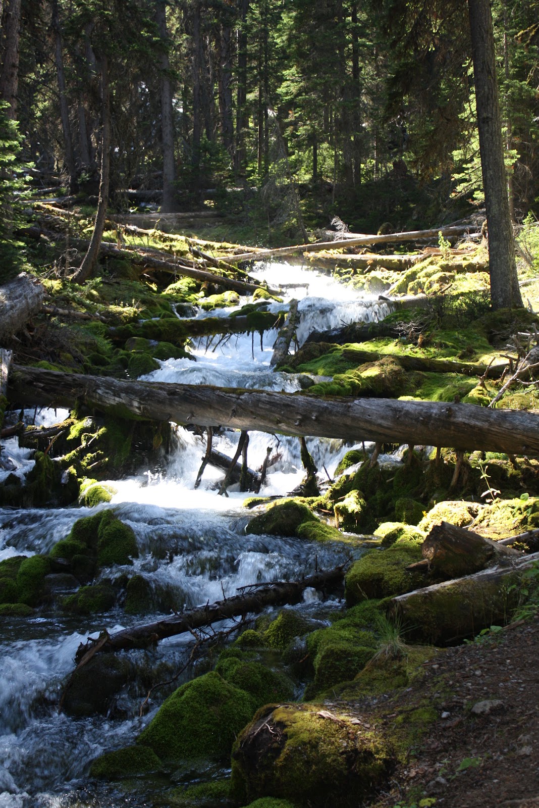
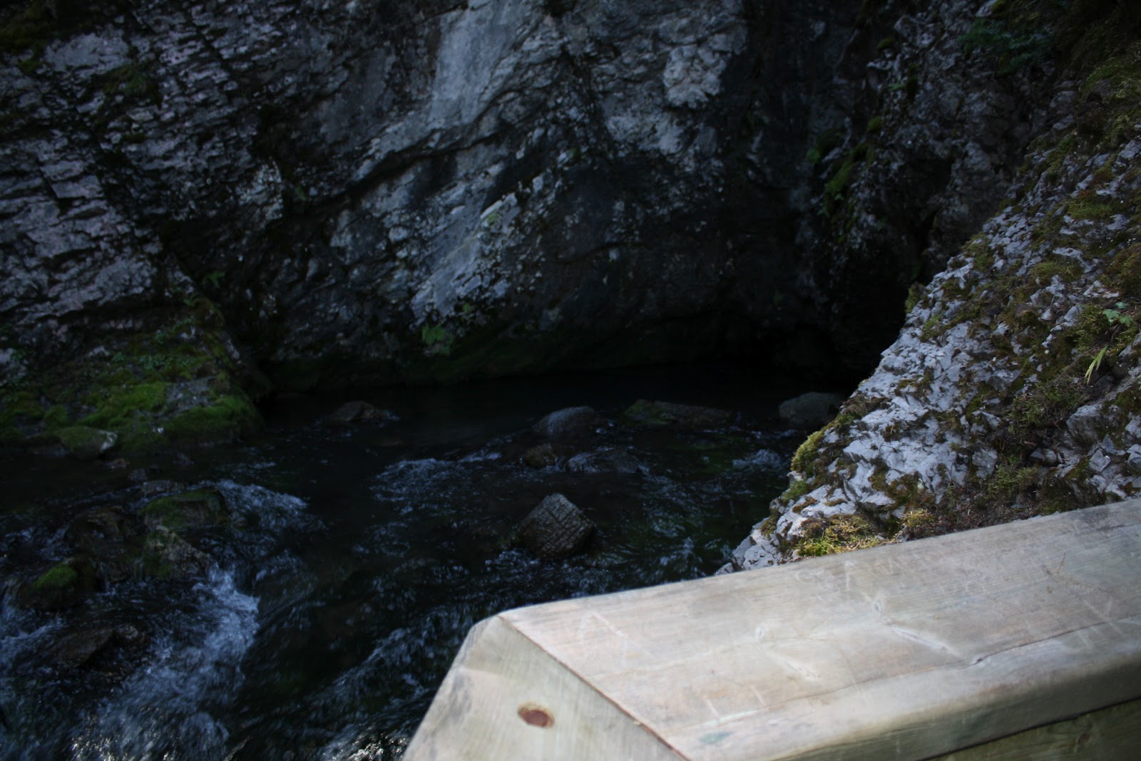
This area has been described as one of the most scenic in North America. At Karst Spring the boulders and driftwood are covered with bright green moss. Overall the elevation gain is relatively gentle with a total of 225 meters of climbing but an increase of elevation of only 60 meters over 5 kilometers. This is probably part of the reason that there are often families hiking on this trail. The gravel road leads you through the Mount Shark Trail System into the forest above Watridge Lake. At the lake you follow the boardwalk and climb the trail along the creek to where Karst Spring exits from behind the rock face of Shark Mountain. Much of the landscape at Karst Springs has been formed by the spring running over and disolving the limestone in the area.

We got up at 5 am (YUCK) but had a great day.  Met a great group of people and a great pack of very well behaved dogs.  Very beautiful weather - sunny and not a cloud in the sky.  Enjoy our pictures.