With a local dog walk meetup group, Lucy and I went on a nice hike yesterday to Karst Springs. Here's a little information about the hike:
Distance:
10.2 km
Difficulty:
Easy
Elev. gain:
60 meters
Time required:
4 - 6 hoursDirections to trail head
The trail is accessed from the Smith-Dorrien / Spray Trail (Highway 742). From Canmore, drive 39 km south on the Smith-Dorrien / Spray Trail. At the sign for the Mount Shark Cross Country and Biathalon Range as well as the Mount Shark Helipad turn right, drive 5 kilometers to the Mount Shark parking lot where you will find the trailhead.
Hike Description
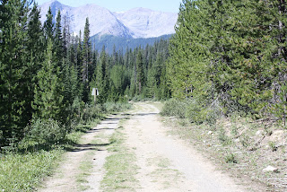
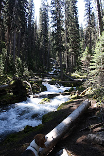
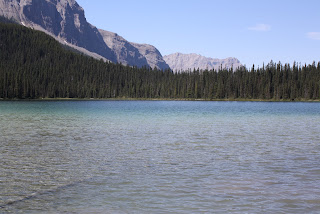
This area has been described as one of the most scenic in North America. At Karst Spring the boulders and driftwood are covered with bright green moss. Overall the elevation gain is relatively gentle with a total of 225 meters of climbing but an increase of elevation of only 60 meters over 5 kilometers. This is probably part of the reason that there are often families hiking on this trail. The gravel road leads you through the Mount Shark Trail System into the forest above Watridge Lake. At the lake you follow the boardwalk and climb the trail along the creek to where Karst Spring exits from behind the rock face of Shark Mountain. Much of the landscape at Karst Springs has been formed by the spring running over and disolving the limestone in the area.
We got up at 5 am (YUCK) but had a great day. Met a great group of people and a great pack of very well behaved dogs. Very beautiful weather - sunny and not a cloud in the sky. Enjoy our pictures.


No comments:
Post a Comment