Lucy and I went on another hike. This time is was a challenge - all up hill! It was a very long day & we didn't get home until about 9 pm but it was worth it.
Distance:
14.2 km
Difficulty:
Moderate
Elev. gain:
685 meters
Time required:
4 - 6 hoursDirections to trail head
The trailhead is on Highway #40 approximately 30 kilometers south of the intersection of Highways #1 and Highway #40. You will drive past both the turn for the golf course and the Mt. Kidd campground. The trailhead is clearly marked with a sign indicating the Galatea Creek Trail.
Hazards on trail
This trail is subject to a spring closure annually to prevent trail erosion.
Hike Description
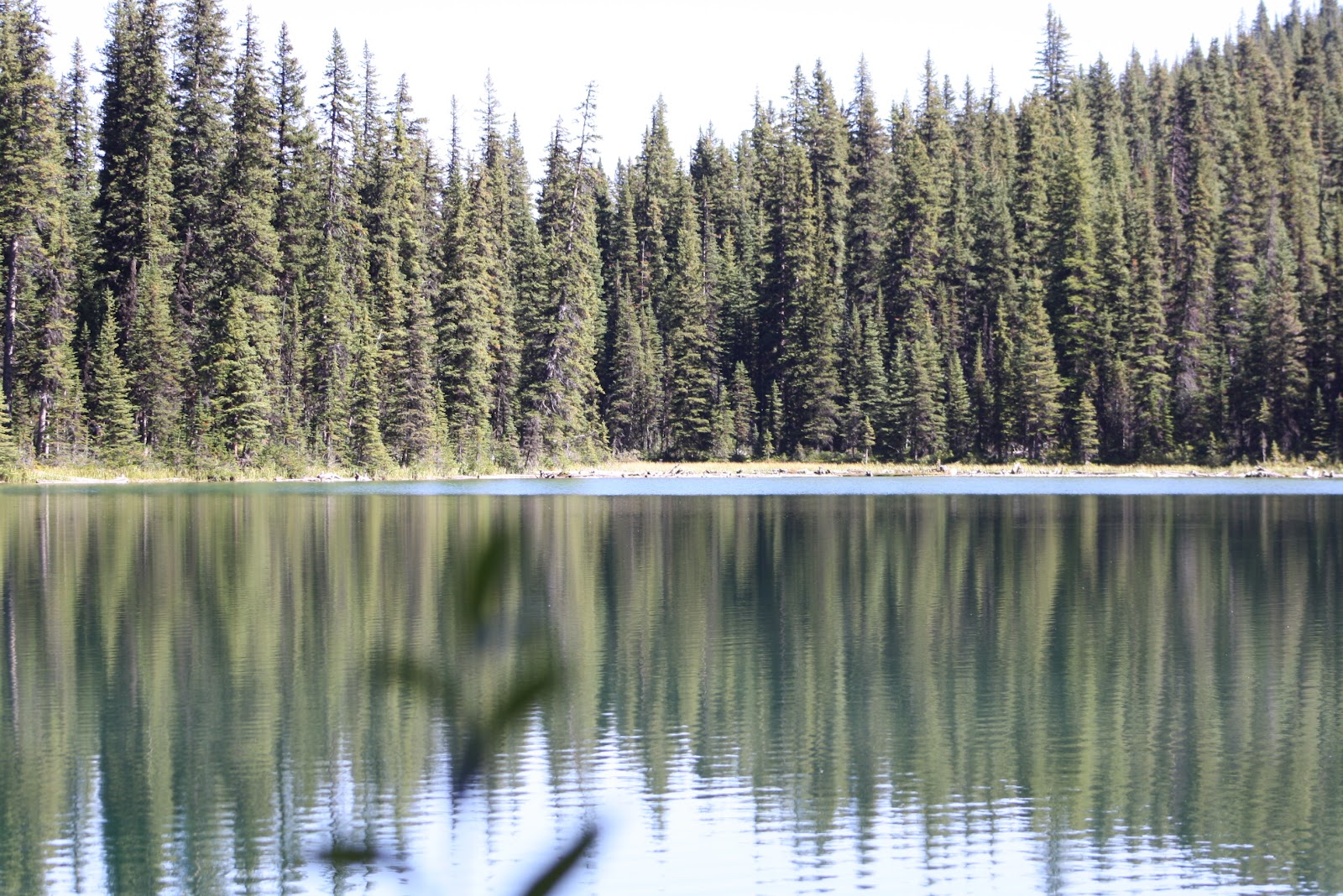
The trail has several bridges (at least eight) that cross Galatea Creek. Were it not for the bridges and the views of the creek the trail might seem monotonous as there are only a couple of viewpoints before you reach Lillian Lake. The trail has a fairly constant grade to Lillian Lake and then becomes noticeably steeper as it climbs above Lillian Lake to Galatea Lake. Lillian Lake and the campsites near it are scenic but if you have hiked 5.5 kilometers (one-way) to Lillian lake you should continue on to the Galatea lakes which adds only 3 kilometers and 250 meters elevation (total of 685 to Galatea Lake) to the trip. The trail above Lillian Lakes is very rocky and you have to watch your step but the views back towards the valley through which you will have traveled are amazing as are the Galatea Lakes
We went with a group from work and had a really good time. The weather was beautiful, the company fun and views truly amazing. Enjoy our photos.